Indian Space Research OrganisationEuropean Space AgencyNASA Earth ScienceIndia Meteorological Department
766
Districts Covered
140M+
Farmers Addressable
10m
Ground Resolution
5 days
Monitoring Frequency
96%
Crop Detection Accuracy
Emission Monitoring
Track Greenhouse Gas Emissions from Space
Monitor methane and CO2 point sources across agricultural regions. Identify stubble burning hotspots, track emission trends, and generate compliance-ready reports aligned with India's NDC commitments.
72K+
Fire Points Tracked
CH4+CO2
Emission Detection
NRT
Near Real-Time
BRSR
Report Ready
Water Intelligence
Groundwater and Surface Water Monitoring
Track water storage changes across India's agricultural belts. Identify groundwater depletion zones, optimize irrigation scheduling, and help farmers save up to 30% water with precision advisories.
30%
Water Savings
FAO-56
ET0 Scheduling
-2cm/yr
NW India Depletion
CGWB
Ground Validated
Solutions That Deliver Results
From farm-level advisory to enterprise risk management, our platform adapts to your needs
LIVE
CH
Crop Health Intelligence
Monitor vegetation health across your entire portfolio. Get AI-powered advisories on irrigation, fertilization, and pest risk for every field, every 5 days.
Health MonitoringAI AdvisoryAll India10m Resolution
LIVE
FE
Fire and Emission Monitoring
Real-time fire detection and GHG emission tracking. Draw any area on the map to get instant emission estimates. Ideal for stubble burning monitoring and carbon reporting.
Multi-hazard monitoring combining earthquakes, fires, floods, and cyclones. Protect your agricultural investments with real-time alerts and risk scoring.
Multi-HazardReal-Time AlertsRisk ScoringPan-India
LIVE
WA
Irrigation Advisory
Precision water management with automatic crop detection and pump scheduling. Reduce diesel costs and water waste with field-specific irrigation plans.
Auto Crop DetectionPump TimerWater SavingsDiesel Optimization
LIVE
SH
Soil Health Analytics
AI-powered NPK prediction using sensor and space data fusion. Get precise fertilizer recommendations that reduce input costs by 25% while maintaining yield.
16-day weather forecasts with crop-specific pest trigger alerts. Map climate risks across your operational area and get actionable mitigation advisories.
Automated climate ESG assessments with polygon-based analysis. Generate SEBI BRSR-compliant reports, carbon footprint calculations, and sustainability scorecards.
SEBI BRSRCarbon FootprintESG ScoringAuto Reports
LIVE
FE
Farm Equipment Advisory
Draw your farm boundary and get the right tractor recommendation based on soil type, farm size, and terrain. Includes EMI calculator and dealer connect.
AI-generated SEBI BRSR compliance reports with all 9 NGRBC principles. Automated data collection, emission calculations, and regulatory mapping.
52 PagesAI GeneratedSEBI CompliantGHG Protocol
Who We Serve
Tailored intelligence for every stakeholder in the agricultural value chain
Banks and NBFCs
Agri-lending risk assessment, crop verification, and portfolio monitoring at scale
72hr loan assessment
Insurance Companies
Parametric crop insurance triggers, loss assessment, and fraud detection
96% claim accuracy
FPOs and Cooperatives
Collective farm monitoring, yield forecasting, and market linkage support
25% input cost savings
Government and Policy
District-level crop monitoring, subsidy targeting, and climate adaptation planning
766 districts covered
Agribusiness and Commodity
Supply chain forecasting, procurement planning, and quality assessment
85% yield prediction
Individual Farmers
Simple, voice-enabled crop advisory in Hindi and regional languages on any phone
10+ languages
For Every Farmer
Simple. Voice-Enabled. Works Offline.
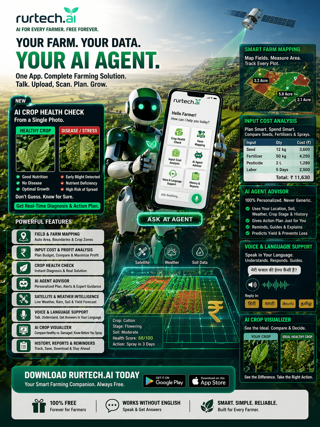
Our mobile app brings the power of space intelligence to every farmer's pocket. Get crop advisories in Hindi, Punjabi, Tamil, and 7 more languages. Works on 2G networks and basic smartphones. No technical knowledge needed.
Offline ModeVoice in 10+ LanguagesUPI PaymentsLow Bandwidth